Engabreen (curtesy of NVE)
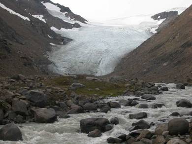
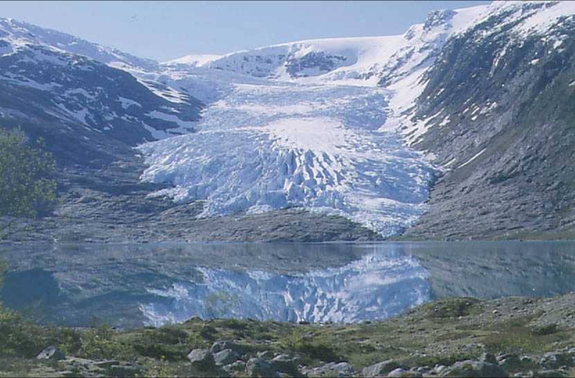
Langfjordjøkelen (curtesy of NVE)
WP1: Mass balance, geometry and bed topography
- Langfjorkjøkelen & Engabreen
Langfjordjøkelen is a maritime plateau glacier located in the northernmost parts of Norway at the border between Troms and Finnmark counties, about 60 km north-west of Alta. Its area is 8.4 km2, and 3.7 km2 drains eastward to Andrevann. The glacier ranges from 280 to 1050 m a.s.l.
Existing data sets
Langfjordjøkelen: Mass balance data since 1989, detailed DEM from 1966 and 1994, ice velocity in the early 1990s. Engabreen: Mass balance budget since 1970. Several previous DEMs exist for Engabreen, the most recent being constructed from laser scanning in 2002, and older DEMs exist for the rest of Svartisen. Bed topography has been mapped by airborne and ground–based radio-echo soundings, and more limited coverage exists for the rest of Svartisen.
Field Investigations
NVE (Andreassen, Jackson), UiO, NP (IMAU, ISU, UB, USw, PSU)
1) Surface mass balance data will be collected using established stake networks, sounding along profiles for snow depth, and density measurements. Mass balance work will be financed mostly externally to Glaciodyn, and results made available to the project.
2) Meteorological measurements. An AWS operates near the highest point of Engabreen and two will be installed at Langfjordjøkelen (near the highest point and at the snout).
3) Glacier geometry will be measured by laser scanning to obtain up-to-date DEMs, supplemented at some localities with dGPS profiles.
4) Bed topography. Radar measurements of the bed will made at Langfjordjøkelen. The bed is known already for much of Engabreen but is relatively sparse in parts, so some radar work will be done to improve bed topography there.
5) Ice velocity measurements will be made at both target glaciers. The proposed detailed velocity measurement program at Engabreen is described in WP3.