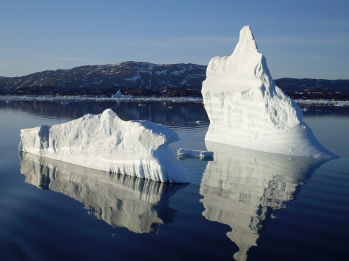
Bas Altena and collegues use images of the Earth from the Landsat 8 satellite in the study of the movements of the cryosphere, currently applied to one of the largest fjords in Greenland.
With the satellite images he and his team aim to develop a method to map surface and subsurface circulation in ice-covered fjords. This circulation pattern can give knowledge useful for safety for maritime transport in cold water in the North.
His research is carried out with a grant as Living Planet Fellow provided by the European Space Agency (ESA). Altenas presentation the 10. December "High-resolution surface and upper fjord circulation of Greenland fjords from optical remote sensing" on the AGU fall Meeting was covered by NASA Landsat Science in an article on their website. This article give more details of the research done so far.
Article:
Mapping Circulation Patterns of Icy Fjords, Landsat Science, 10.12.2018
Related reference:
Kääb & Leprince. 2014: Motion detection using near-simultaneous satellite acquisitions. Remote Sensing of Environment.
Data from Landsat or Sentinel-2 data can be freely downloaded from the USGS EarthExplorer or LandsatLook.