We offer several master's thesis projects in structural fieldwork and/or interpretation of geophysical data in Svalbard, the Barents Sea and northern Norway.
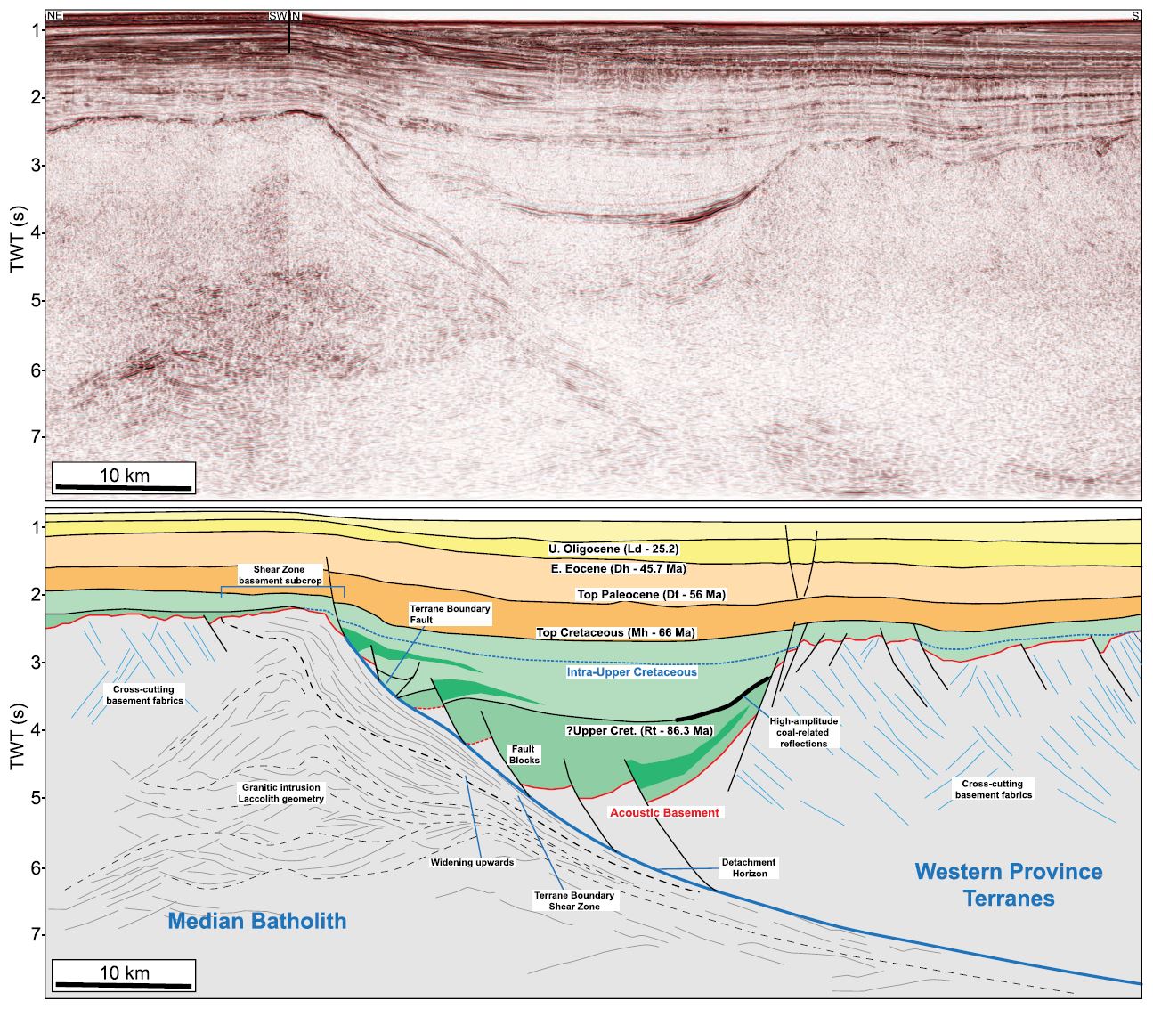
The thesis work aims at characterizing structures in Precambrian basement and Paleozoic sedimentary rocks along major tectonic boundaries using structural fieldwork and/or various geophysical datasets (e.g., gravimetric, magnetic, bathymetric, and seismic data)
Depending on the interests of the student, the thesis work may include one or more of the following activities (selected before the start of the thesis work):
- Collecting structural data in the field in summer 2023 (fault strike and dip, fault lineation, foliation, kinematic indicators, bedding surfaces, fold axes).
- Microstructural and petrological analysis of fault rocks in thin section.
- Geochronological analysis of fault rocks.
- Interpretation of structures and fabrics on geophysical datasets (seismic and/or gravimetric and/or magnetic and/or bathymetric data).
Through this graduate work, the student will gain critical skills in structural interpretation of field data, fault rock analysis in thin section, organizing and performing fieldwork in remote Arctic areas, interpretation of seismic data and other geophysical datasets, scientific writing, assessing and discussing scientific uncertainty, proposal writing, ethics in science, communication techniques to present and disseminate scientific outcomes, a professional network of experts in various field in geosciences, and participating in international research projects (ArcTec, TOWS, TONeS).
Additional supervisors may be from other universities, research institutes, and/or industries in Norway and/or abroad according to the career plan of the student (to be discussed before the thesis work starts).
Please send an email to Jean-Baptiste Koehl (jeanbaptiste.koehl@gmail.com) to discuss availability and potential activities.

