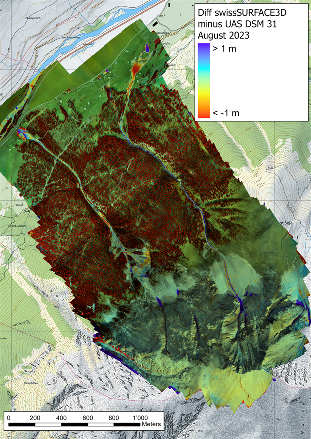
Debris flows (in Norwegian: "flomskred") pose a major hazard in mountain regions and there are indications that they might occur more frequently with more extreme precipitation events in a changing climate. Both Norway and Switzerland faced recent debris flow events and different drone-based datasets have been acquired for a selection of the occurred debris flows.
As debris flows often flow through densely forested terrain, a detailed mapping of the events is challenging. Recent advances in drone technology including the availability of different sensor systems bear high potential for the generation of high-resolution digital terrain models before and after such events which is key for model calibration and validation.
This master thesis aims to evaluate two main data types captured from drones (namely photogrammetry and LiDAR) for debris flow mapping and will address the following questions:
- How well is the relevant terrain captured by photogrammetry and LiDAR, and are there relevant differences between the two datasets?
- What point cloud filtering algorithms are best suited to filter out vegetation in complex mountain terrain?
The student will work on data from already surveyed recent debris flows where LiDAR and photogrammetric point cloud data sets acquired by the WSL Institute for Snow and Avalanche Research SLF and the Norwegian Geotechnical Institute respectively, are available.
The student will use ArcGIS Pro, Metashape and Cloud Compare and potentially further relevant software tools.
Having experience with ArcGIS or QGIS is a prerequisite for this topic, as well as the willingness to thoroughly work oneself into Metashape and Cloud Compare.
Click here for a bigger version.