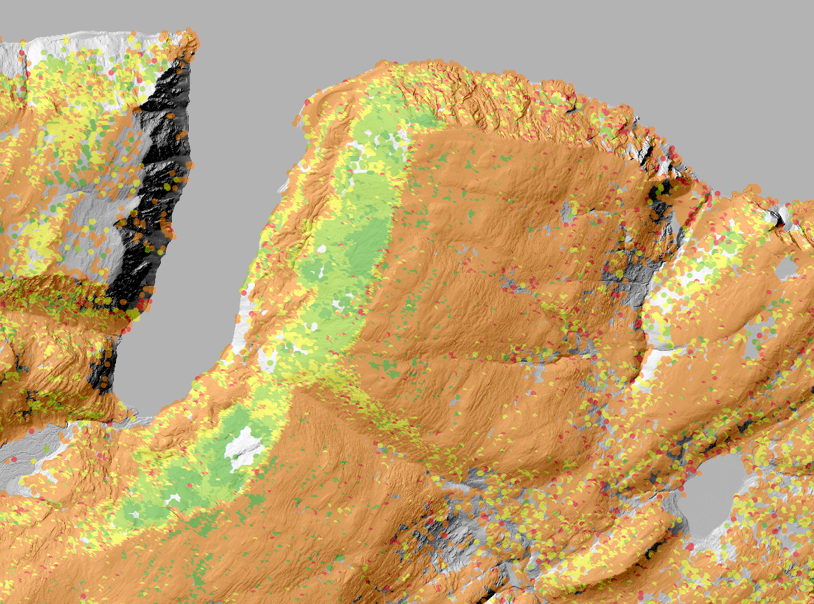
In Nordkinnhalvøya, Finnmark, Northern Norway, several rock glaciers have been identified close to sea level in the recent years. One of these rock glaciers, in Ivarsfjorden, has been studied more closely, and we know have a dataset consisting of 1) four years of surface temperature data, 2) three years of drone photos, 3) two years of electrical resistivity tomography (ERT), and 4) several years of InSAR data showing movement rates in a larger area (see fig. 1). We want to extend our research to other neighboring rock glaciers as well.
We know look for a student to work on parts of this dataset, to refine and analyze the existing observations. In particular we need to update the drone derived DEMs until summer 2018 and 2019. We also need to make a detailed geomorphological map of the surrounding area, and to analyze the ERT results in more detail.
The InSAR data needs to be looked more closely at, and have a huge potential for detailed velocity mapping over large areas. We already see that the rock glaciers of interest clearly stand out in the dataset. The change detection analysis from comparing DTMs from previous years so far show that there is movement in parts of these rock glaciers, indicating that active rock glaciers exist under the current climate close to sea level in these areas. This has never been proved before, and is very interesting as a warmer climate analogue to similar-looking rock glaciers in e.g. Svalbard.