
Prøveforelesning - tid og sted
Torsdag 24 oktober, 10:15-11:00, Auditorium 1, Geologibygningen
Machine learning techniques for mapping snow and ice over land
Kreeringssammendrag
I denne avhandlingen er det utviklet algoritmer som kombinerer satellittbilder og værvarsler for å beregne snømengde i terrenget. Denne typen algoritmer vil kunne forbedre klimamodeller siden beregning av snømengde har historisk sett vist seg å være vanskelig å utføre. Snø er en viktig del av klimasystemet, og representerer en kilde til ferskvann for en fjerdedel av verdens befolkning.
Hovedfunn
Populærvitenskapelig artikkel om Aalstads avhandling:
How to measure snow from space?
This thesis presents a satellite-based modeling framework that can estimate how much snow was stored in the terrain. These estimates can help guide climate analysis and prediction. Accurate quantification of Earth’s snow mass is a long-standing problem to which a solution is direly needed with ongoing climate change. Snow plays an essential role in the climate system and snowmelt is a vital source of freshwater for a quarter of the world’s population.

The framework combines satellite imagery and historic weather data to remotely estimate snow mass by leveraging enhanced ensemble-based data assimilation algorithms. The result is a retrospective analysis (reanalysis) of the snow mass that can be obtained for any location on Earth. So far, the framework has been successfully implemented in the high-Arctic Svalbard archipelago, the Californian Sierra Nevada, and the Swiss Alps. In the future, snow reanalyses can be used to train algorithms to predict snow mass in near real time. They may also help validate and subsequently improve climate models. Ultimately this would allow us to make even more informed future projections of the possible fate of the environment that sustains us.
Foto og annen informasjon:
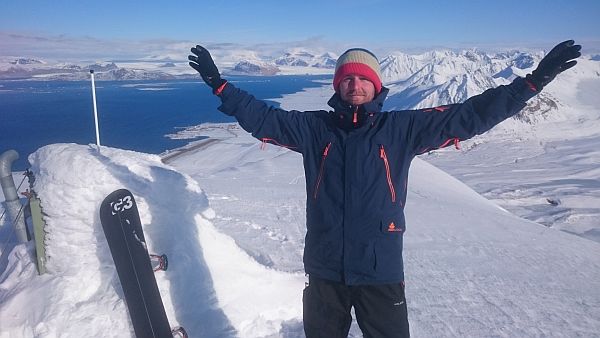
Pressefoto: Kristoffer Aalstad (portrett) | Kristoffer Aalstad during fieldwork near Ny-Ålesund, Svalbard.
Annet bildemateriale: A patchy snow-cover in the Bayelva catchment near Ny-Ålesund, Svalbard, Norway, taken by an automatic camera system on the 05/06/2016. Image: Kristoffer Aalstad